 Improve this document
 Create an issue
 Edit on GitHub
Scenario
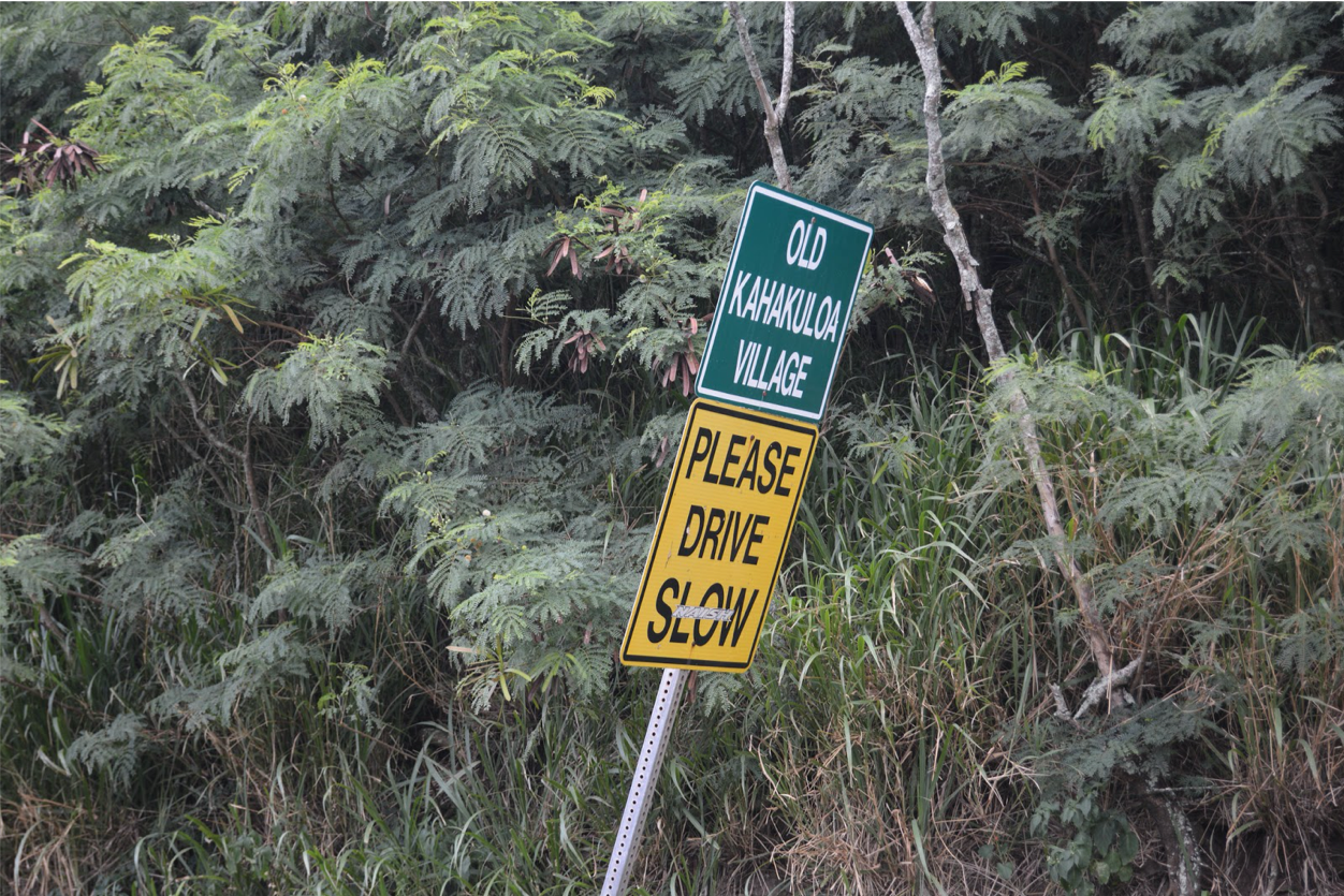
Tracking invasive species
This narrative was developed as a basis for practical exercises in the biodiversity data mobilization course and the exercise concept and content was developed by Sharon Grant, John Wieczorek, David Bloom and Laura Anne Russell.
It is a fictionalized scenario based on a real dataset and is meant only for instructional purposes. The original dataset is attributed to Simpson A (2016). Big Island Invasive Species Committee - Pest Reports - 2005-2010. Version 4.1. United States Geological Survey. Occurrence Dataset accessed via GBIF.org on 2017-07-13.
Description
The Hawaii Invasive Species Council (HISC) received a federal grant to collaborate with high schools as part of Hawaii’s statewide curriculum on Invasive Species to increase local knowledge about invasive species, increase data collection and produce annotated checklists for under reported areas. A full-time Project Manager is employed to oversee the project. All funds and allocations are managed by the HISC Fiscal Associate.
The Manager of each island’s Invasive Species Committee (ISC) received a sub-award to set up local education programs and collect data. The programs trained high school students to become Student Mentors and to facilitate image and data collection by members of the local community. The Big Island Invasive Species Committee (BIISC) received a further sub-award to extend their central database to accommodate each ISC’s data, provide participating schools with their own websites, and maintain a single, searchable data portal to serve government, public, and scholarly research efforts.
Two schools on each island were selected because they were located in areas where knowledge and documentation of invasive species assessment was poor or non-existent. Teachers worked with their local Invasive Species Council (ISC) Outreach Associate to create teaching materials detailing 21 important invasive plant species, including how to identify each species’ life stages and the most effective control methods.
The Graduate School of the University of Hawaii in Maui (UHM) runs a course in community outreach. Four botany students from the University, as a part of their final course assessment, are validating the identifications from the images and descriptions submitted by each high school to their local ISC.
Data collection
Students from each high school organized a series of day-long community surveys in their local neighbourhoods. Participants, guided by local ISC Early Detection Technicians and Student Mentors, visited various locations where they were given photo guides and assigned a route to follow during collection events. Along each route, they were tasked with identifying the target species and taking 1-3 photos of them using GPS-enabled mobile phones.
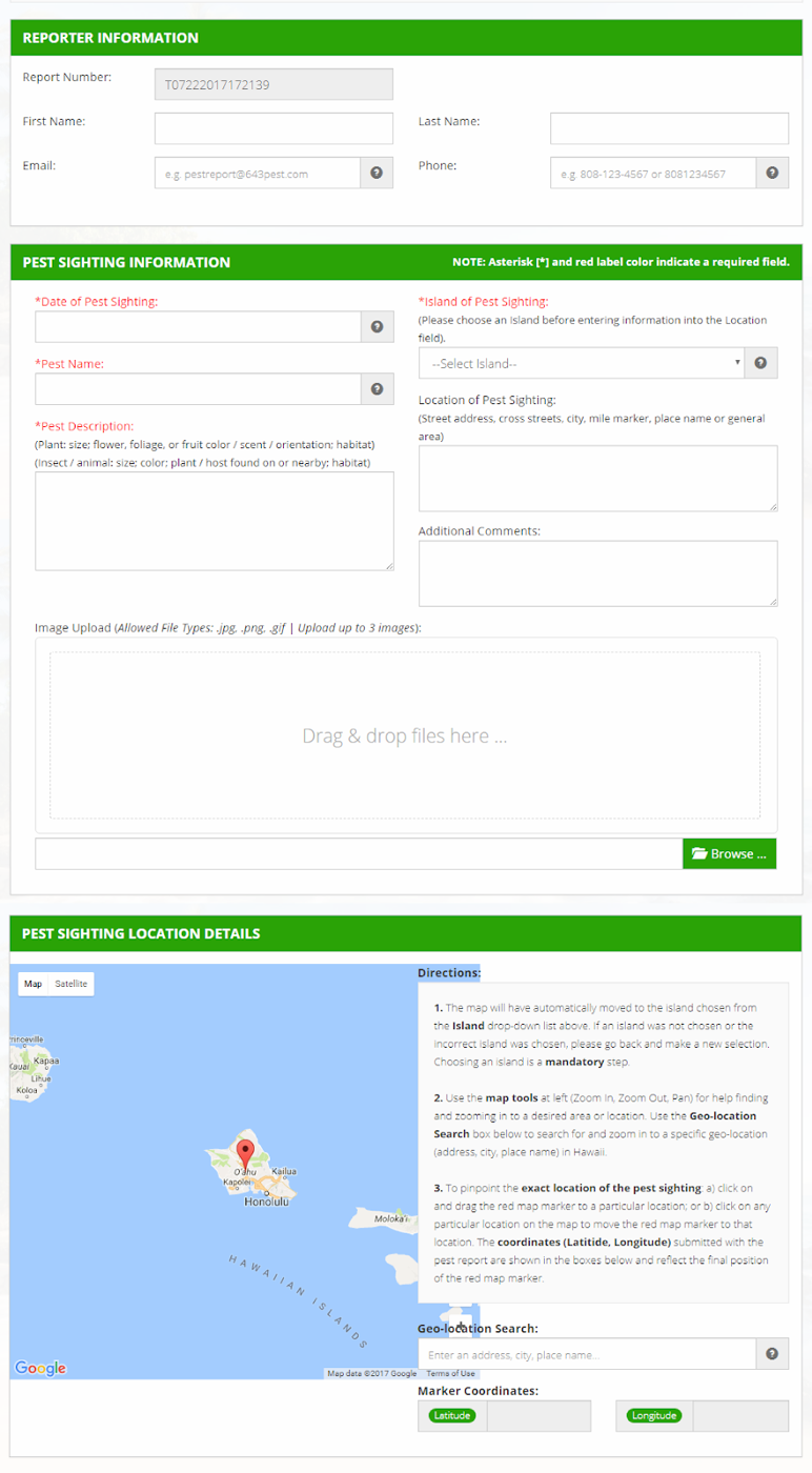
Details, describing every observation of the 21 invasive species of interest, were recorded using a digital data collection form during each community collection event. Participants uploaded the images captured on mobile phones and were encouraged to click their locations using a Google map, embedded in the form, to assign latitude and longitude to each observation. The form’s design was based on the HISC pest reporting form.
Digital data description
A database, created and hosted by the Computing Department at UHM, holds the imagery and data from the online form, but these data are not accessible publicly. Data were exported as comma separated value (.csv) files and given to the four UHM graduate students for taxonomic validation using the images and descriptions submitted. The BIISC GIS Analyst used the Google Maps coordinates and image EXIF data to check observations for quality and to add any missing georeferences. Student mentors renamed all image files to match the observation number for cross referencing later at BIISC.